

Tropical Storm Laura Gathers Speed As it Makes Landfall in the Leeward Islands
WikiImages
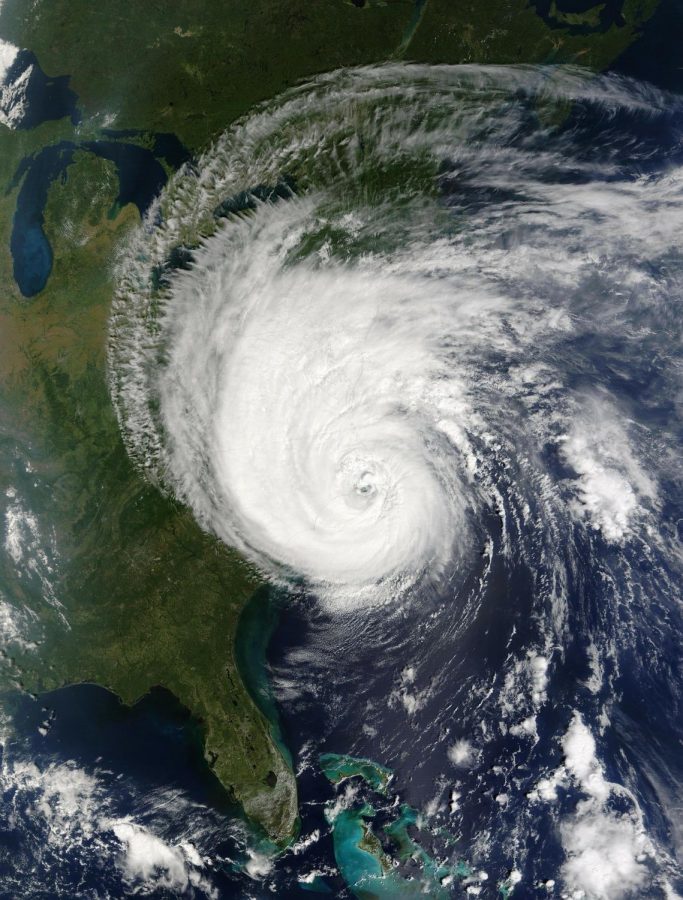
Hurricane Isabel making landfall in the Northeast in 2003.
Tropical Storm Laura formed on Friday, August 21, hitting the Leeward Islands with thunderstorms, moving west at 17 mph, with sustained winds up to 45 mph. It is the twelfth named storm of the 2020 Atlantic Hurricane Season. It has become the earliest “L” named storm in the official record, beating out Tropical Storm Luis, which formed on August 29, 1995. A flash flood watch has already been issued with 3 to 6 inches of rain, causing flooding and isolated mudslides.
“Residents should continue to monitor the storm and be prepared for category one hurricane winds and strong squalls,” Shannon Wiener, Monroe County Emergency Management Director, said in a press release. “Please secure all boats and outside items over the weekend for this event.”
Laura is set to hit Puerto Rico over the weekend and continue Northwest through the Bahamas. Cuba and the Florida Keys are forecasted to be hit on Monday, emerging with the warm temperatures and high levels of wind of the Gulf of Mexico and reaching hurricane-level strength.
Another storm that brings lots of concern is Tropical Depression 14. The depression was formed in the Caribbean Sea, located off of Northeast Honduras. It is set to bring heavy rain and potential flooding to parts of Honduras, Northern Nicaragua, Belize, the Lesser Antilles, and the Yucatán Peninsula of Mexico during the weekend, before drifting off to the Gulf of Mexico on early Sunday.
On satellite, Tropical Depression 14 seems relatively small and lacks extensive thunderstorm activity. However, the intense center and the multiple low-level swirls around it make it more disorganized and harder to track the path of it. Tropical Depression 14, which is likely to change its name to Tropical Storm Marco on Sunday, August 23, is forecasted to approach the Northwestern Gulf Coast with near hurricane strength on Sunday.
“This forecast remains highly uncertain,” Hurricane Center noted on its website, “and users are urged to continue monitoring changes to this forecast. Residents along the central and northwestern U.S. Gulf Coast should monitor the storm’s progress over the next few days.”
Tropical Depression 14 and Tropical Storm Laura are predicted to meet in the Gulf of Mexico at the same time. Having two tropical storms together in the Gulf of Mexico is rare. Having two hurricanes together in the Gulf of Mexico is unheard of. The last time two storms that made landfall in the United States within 24 hours of each other was in 1933 during the Chesapeake-Potomac Hurricane.
“The National #Hurricane Center is currently hinting at [the] possibility of two hurricanes in [the] Gulf of Mexico simultaneously early next week,” Philip Klotzbach, a meteorologist at CSU specializing in Atlantic basin seasonal hurricane forecasts, said in a tweet. “If that were to occur, it would be [the] first time on record that the Gulf of Mexico has had 2 [sic] hurricanes at the same time.”
Having two storms in the Gulf of Mexico simultaneously can open up many troubles for citizens near the storms and for forecasters, since it is hard to anticipate the outcome of the storms. If the two storms draw too close to each other, they could create the Fujiwhara Effect, meaning that both storms would dance around a common center, either merging into one huge storm, or spinning around each other before shooting off into different paths. Another possibility would be the delay before the storms make landfall. If the two storms circle around each other, it would allow both storms to intensify over the warm waters before hitting land.
Tropical storm warnings have been issued in Puerto Rico, the U.S. Virgin Islands, Leeward Islands, Florida, the bay islands of Honduras, and the Bahamas. For now, forecasters are uncertain about how Laura will shift once hitting the Gulf of Mexico. The strength will depend heavily on how much it interacts with the land. The more time it spends on land, the weaker it gets. Worst case scenario, the tropical storm could reach a major Category 3 Hurricane by Tuesday and merge with Tropical Depression 14, forming a much larger storm. Coastal residents are currently being advised to evacuate from their homes and to make preparations to shelter inland.

Class of 2023
Hey, I'm Amy! I am currently the Sports Editor for the Horizon! Outside of the press room, my hobbies include playing soccer and running...